What's viewscan360?
It’s time to view data on a whole new dimension
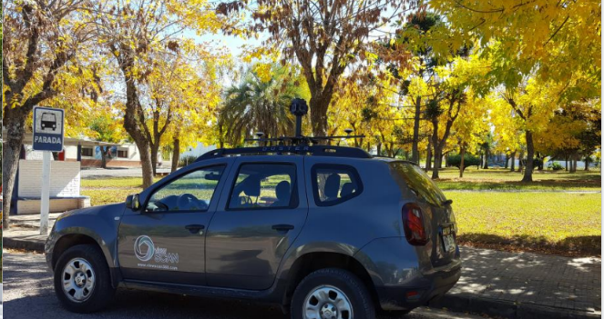
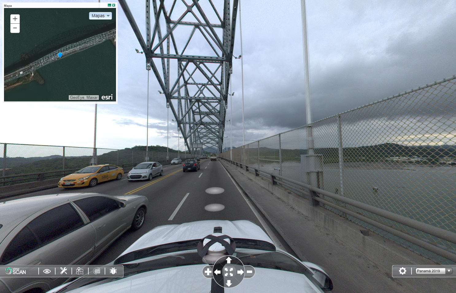
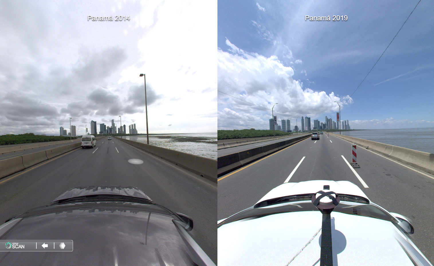
Viewscan allows users to move through a virtual environment of streets and avenues made by processed 360° spherical images from different cities surroundings.

Viewscan provides integration with GIS servers and transactional systems in order to visualize information and description to each assets and point of interest from our system. Native support for Geoserver and ArcGIS databases.

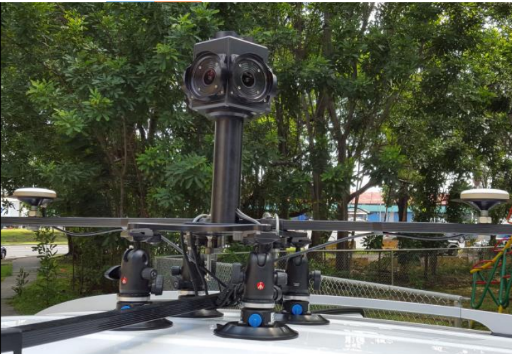
Work with our friendly user interface that allows you to measure length, areas and perimeters of any assets on a virtual environment.
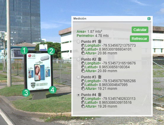
Virtually capture assets by selecting and geo-referencing any element on the environment and fetching any information related to it like identification, owner, license, etc.
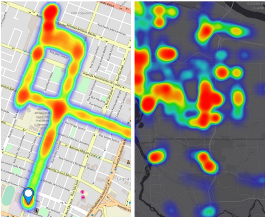
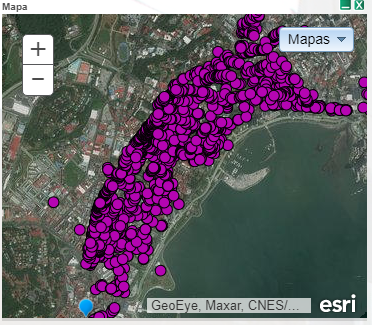
More than 8000 kilometers of 360° pictures and more than 100K scanned items.